
Fisheries and Oceans Canada in the Pacific Region
Our main activities in BC and the Yukon are the management of fisheries, sustainable aquaculture, and federally owned small craft harbours; science and research; and the conservation and protection of Canada's aquatic wildlife and ecosystems.

Services and information
Fisheries Management
Fisheries opening and closures, licensing, shellfish contamination, management plans, catch statistics
Indigenous Programs, Reconciliation and Partnerships
Reconciliation, long term fisheries arrangements, fisheries programs and funding opportunities
Science
Ocean sciences and climate change adaptation, environmental science, research centres and shared data
Aquaculture
BC aquaculture regulatory program, licensing, aquaculture sites and maps
Tides, currents, and water levels
Predicted times and heights of high and low waters, and the hourly water levels
Species at Risk
Aquatic species at risk, recovery planning, habitat protection
Salmonid Enhancement Program
Hatcheries, spawning channels, resource restoration, community advisors
Fish and Fish Habitat Protection Program
Measures to protect fish and fish habitat, projects near water, standards and codes of practice
Small Craft Harbours
Harbour authorities, abandoned boats and wrecks, map of harbours
Economic analysis
Economic analyses, reports, infographics and reporting programs
Conservation and Protection
Observe, record, report a fisheries violation
Funding opportunities
Learn about funding opportunities available to people and organizations based out of British Columbia or the Yukon
Stream to Sea education program
Resources and lesson plans, educational coordinators
Featured
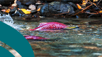
Pacific Salmon Strategy Initiative
We’re taking bold action to stabilize and protect Pacific salmon
Page details
- Date modified: