
West Cracroft Island - Boat Bay Rockfish Conservation Area
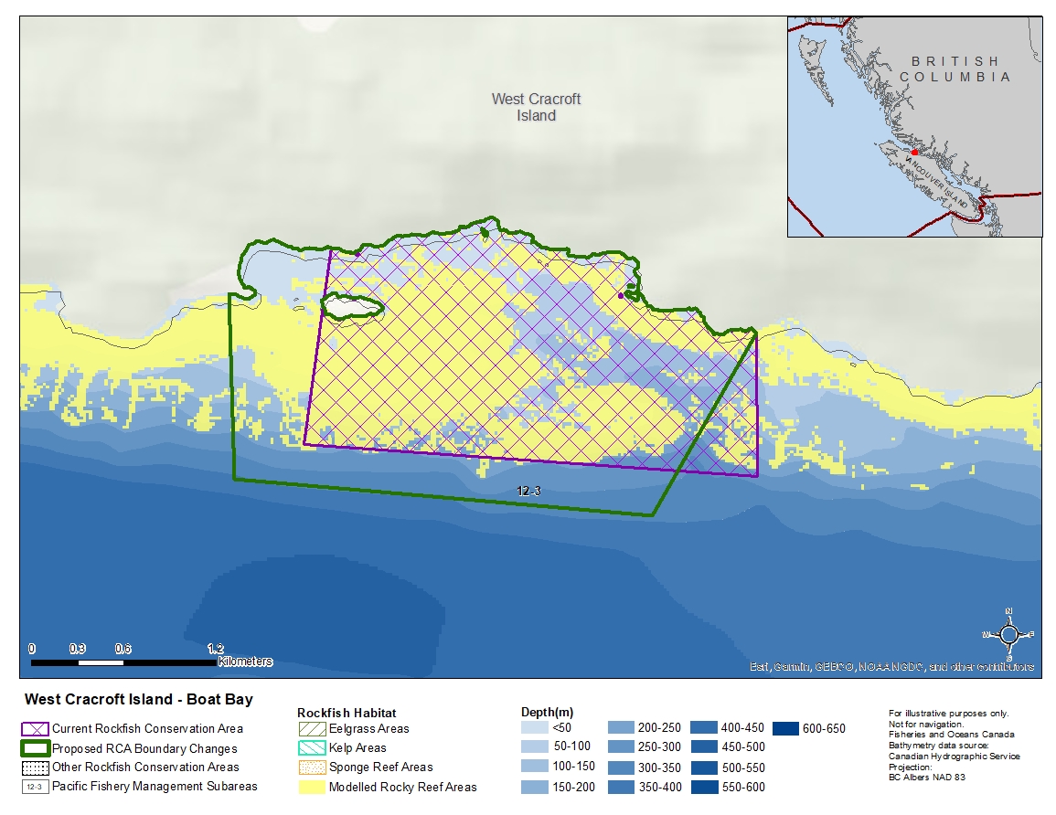
Description of current Rockfish Conservation Area boundary
Those waters of Subarea 12-3 that lie inside a line that:
| begins at | 50° 31,203' N | 126° 31,213' O | shoreline |
|---|---|---|---|
| then to | 50° 30,700' N | 126° 31,200' O | in water |
| then to | 50° 30,800' N | 126° 33,700' O | in water |
| then to | 50° 31,500' N | 126° 33,556' O | east of Boat Bay |
then easterly following the shoreline to the beginning point.
Proposed boundary change
- Extend portions of the western boundary by up to 600 metres.
- Extend portions of the southern boundary by up to 300 metres.
- Remove portions of the eastern boundary by up to 520 metres.
Reason(s) for proposed boundary change
- Increase amount of rockfish habitat protected in area.
- Capture habitat at deeper depths.
- Remove areas with small amount of rockfish habitat.
- Date modified: