
North Danger Rocks Rockfish Conservation Area
No boundary change proposed at this time.
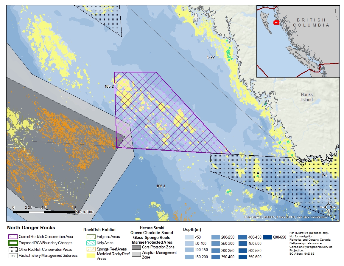
Description of current Rockfish Conservation Area boundary
Those waters of Subarea 105-2 that lie inside a line that:
| begins at | 53°15.900'N | 130°22.200'W | in water |
|---|---|---|---|
| then to | 53°16.100'N | 130°16.700'W | in water |
| then to | 53°10.000'N | 130°06.200'W | in water |
| then to | 53°10.000'N | 130°21.300'W | in water |
then to the beginning point.
- Date modified: