
Storm Islands Rockfish Conservation Area
No boundary change proposed at this time.
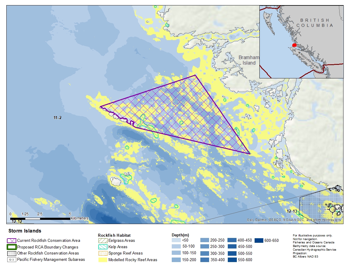
Description of current Rockfish Conservation Area boundary
Those waters of Subarea 11-2 that lie inside a line that:
| begins at | 51°02.000'N | 127°44.700'W | Storm Islands |
|---|---|---|---|
| then to | 51°03.527'N | 127°37.903'W | McEwan Rock Light |
| then to | 51°00.013'N | 127°33.852'W | Harris Island Light |
| then to | 51°01.100'N | 127°42.100'W | in water |
then passing through the Storm Islands to the beginning point.
- Date modified: