
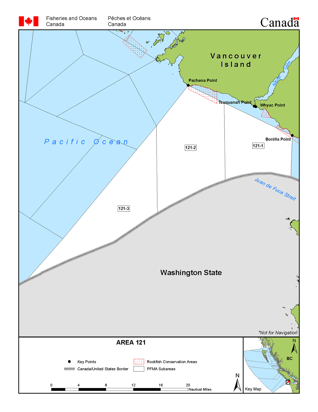
Fisheries management area 121 - Open water southwest of Pachena Point
The map below shows the Subareas (blocked white) from the Management Area 121. For a written description of the Subarea please see the Pacific Fishery Management Area Regulations 2007.
You can also download a printable PDF version of this map.
- Date modified: