
West Aristazabal Island Rockfish Conservation Area
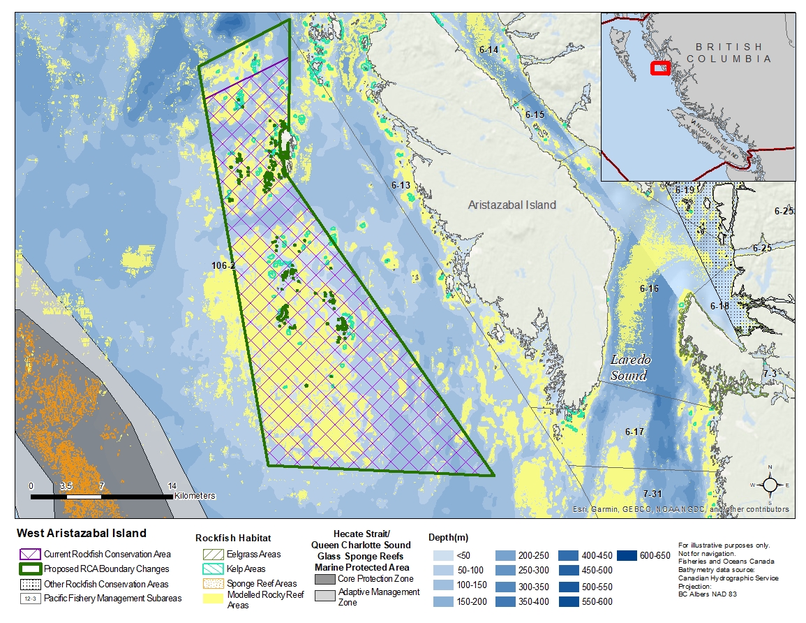
Description of current Rockfish Conservation Area boundary
Those waters of Subareas 106-2 that lie inside a line that:
| begins at | 52°42.800'N | 129°32.500'W | in water |
|---|---|---|---|
| then to | 52°45.300'N | 129°25.100'W | in water |
| then to | 52°38.940'N | 129°24.800'W | southerly tip of Moore Islands |
| then to | 52°23.500'N | 129°05.500'W | in water |
| then to | 52°23.500'N | 129°25.300'W | in water |
then to the beginning point.
Proposed boundary change
Extend northern boundary by up to 3.8 kilometres.
Reason(s) for proposed boundary change
- Capture complete habitat structures.
- Capture habitat at deeper depths.
- Date modified: