
West Banks Island Rockfish Conservation Area
No boundary change proposed at this time.
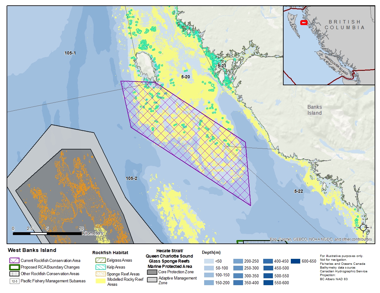
Description of current Rockfish Conservation Area boundary
Those waters of Area 105 and Subareas 5-20 and 5-22 that lie inside a line that:
| begins at | 53°27.900'N | 130°39.800'W | in water |
|---|---|---|---|
| then to | 53°27.985'N | 130°35.246'W | Bonilla Island |
| then to | 53°23.700'N | 130°22.700'W | in water |
| then to | 53°18.700'N | 130°21.500'W | in water |
| then to | 53°24.300'N | 130°38.000'W | in water |
then to the beginning point.
- Date modified: