
Bate - Shadwell Passage Rockfish Conservation Area
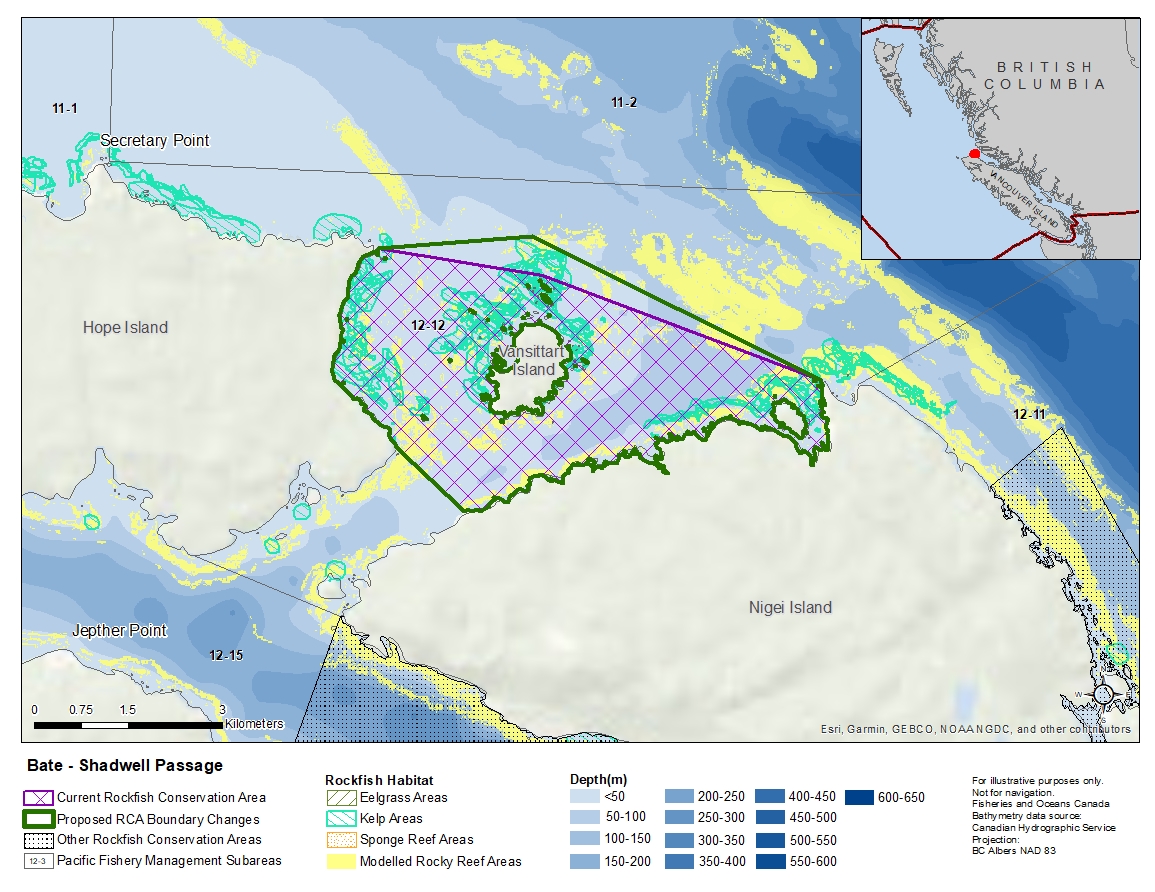
Description of current Rockfish Conservation Area boundary
Those waters of Subarea 12-12 that lie inside a line that:
| begins at | 50°56.000'N | 127°50.263'W | Cape James |
|---|---|---|---|
| then to | 50°55.800'N | 127°48.000'W | in water |
| then to | 50°54.960'N | 127°44.155'W | Cholberg Point |
| then southerly following the
shoreline of Nigel Island to |
50°53.757'N | 127°48.984'W | Nigei Island |
| then to | 50°54.288'N | 127°49.942'W | Pivot Point |
then northerly following the shoreline to the beginning point.
Proposed boundary change
Extend portions of the northern boundary by up to 600 metres.
Reason(s) for proposed boundary change
Capture complete habitat structures.
- Date modified: