
Belleisle Sound Rockfish Conservation Area
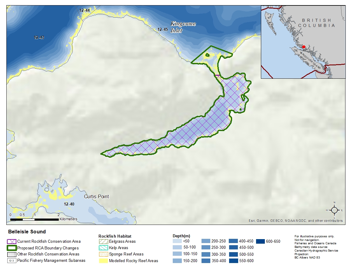
Description of current Rockfish Conservation Area boundary
Those waters of Subarea 12-45 that lie southerly of a line:
| from | 50°54.200'N | 126°25.248'W | shoreline |
|---|---|---|---|
| to | 50°54.200'N | 126°25.043'W | shoreline |
Proposed boundary change
Extend portions of the northern boundary by up to 1.2 kilometres.
Reason(s) for proposed boundary change
Increase amount of rockfish habitat protected in area.
- Date modified: