
Brooks Bay Rockfish Conservation Area
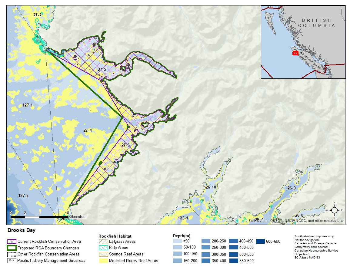
Description of current Rockfish Conservation Area boundary
Subareas 27-5 and 27-6 and those waters of Subarea 27-4 that lie northeasterly of a line:
| from | 50°17.263'N | 127°51.893'W | Heater Point |
|---|---|---|---|
| to | 50°13.847'N | 127°48.495'W | Donald Islets Light |
Proposed boundary change
Extend portions of the western boundary by up to 2 kilometres.
Reason(s) for proposed boundary change
Increase amount of rockfish habitat protected in area.
- Date modified: