
West Calvert Rockfish Conservation Area
No boundary change proposed at this time.
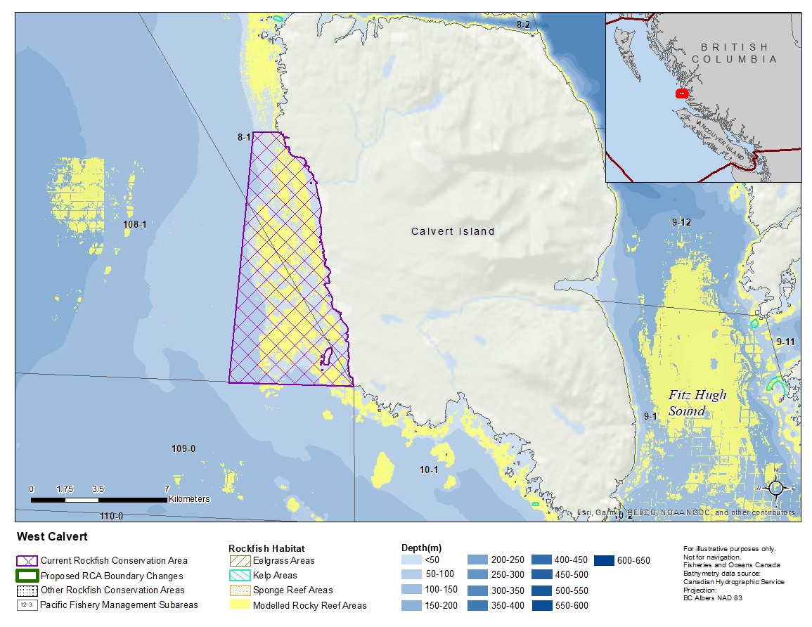
Description of current Rockfish Conservation Area boundary
Those waters of Subareas 8-1 and 108-1 that lie inside a line that:
| begins at | 51°28.815'N | 128°05.194'W | Herbert Point |
|---|---|---|---|
| then to | 51°28.815'N | 128°10.800'W | in water |
| then to | 51°35.820'N | 128°10.048'W | in water |
| then to | 51°35.820'N | 128°08.936'W | Calvert Island |
then southerly following the shoreline to the beginning point.
- Date modified: