
Lower Clio Channel Rockfish Conservation Area
No boundary change proposed at this time.
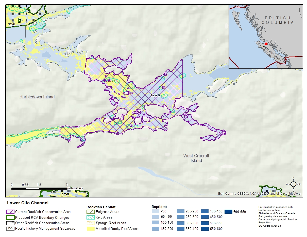
Description of current Rockfish Conservation Area boundary
Those waters of Subarea 12-26 that lie inside a line that:
| begins at | 50°35.356'N | 126°27.543'W | Turnour Bay |
|---|---|---|---|
| then to | 50°34.286'N | 126°27.543'W | West Cracroft Island |
| then westerly following the shoreline of West Cracroft Island to |
50°33.114'N | 126°33.191'W | West Cracroft Island |
| then to | 50°33.397'N | 126°33.191'W | Harbledown Island |
| then following the easterly shoreline of Harbledown Island to |
50°34.943'N | 126°32.080'W | Harbledown Island |
| then to | 50°35.397'N | 126°31.982'W | Turnour Point |
then easterly following the shoreline of Turnour Island to the beginning point.
- Date modified: