
Drury Inlet - Muirhead Islands Rockfish Conservation Area
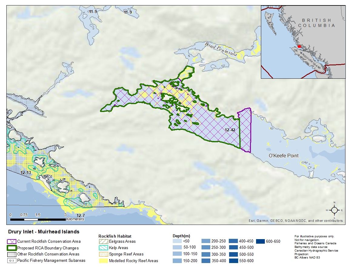
Description of current Rockfish Conservation Area boundary
Those waters of Subarea 12-42 that lie inside a line that:
| begins at | 50°56.174'N | 127°08.428'W | shoreline |
|---|---|---|---|
| then to | 50°56.054'N | 127°08.261'W | Charlotte Point |
| then easterly following the shoreline to |
50°55.229'N | 127°05.000'W | Collinson Bay |
| then to | 50°54.007'N | 127°05.000'W | shoreline |
then following the shoreline easterly around Macgowan Bay, and Sutherland Bay the beginning point.
Proposed boundary change
- Extend a portion of the northern boundary by up to 950 metres.
- Remove a portion of the eastern boundary by up to 650 metres.
Reason(s) for proposed boundary change
- Increase amount of rockfish habitat protected in area.
- Remove areas with small amount of rockfish habitat.
- Date modified: