
Dunira Rockfish Conservation Area
No boundary change proposed at this time.
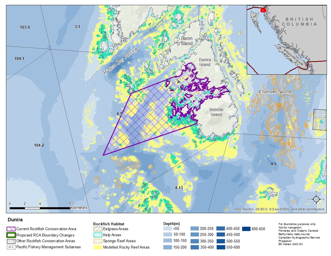
Description of current Rockfish Conservation Area boundary
Those waters of Subarea 4-1 that lie inside a line that:
| begins at | 54°24.148'N | 130°55.265'W | south tip of Connel Islands |
|---|---|---|---|
| then to | 54°25.550'N | 130°50.100'W | Farwest Point |
| then following the southerly shoreline of Dunira Island to |
54°25.167'N | 130°43.853'W | Dunira Island |
| then to | 54°24.720'N | 130°43.135'W | Melville Island |
| then following the northerly shoreline of Melville Island to |
54°22.300'N | 130°47.000'W | Melville Island |
| then to | 54°19.600'N | 130°58.200'W | in water |
then to the beginning point.
- Date modified: