
Port Elizabeth Rockfish Conservation Area
No boundary change proposed at this time.
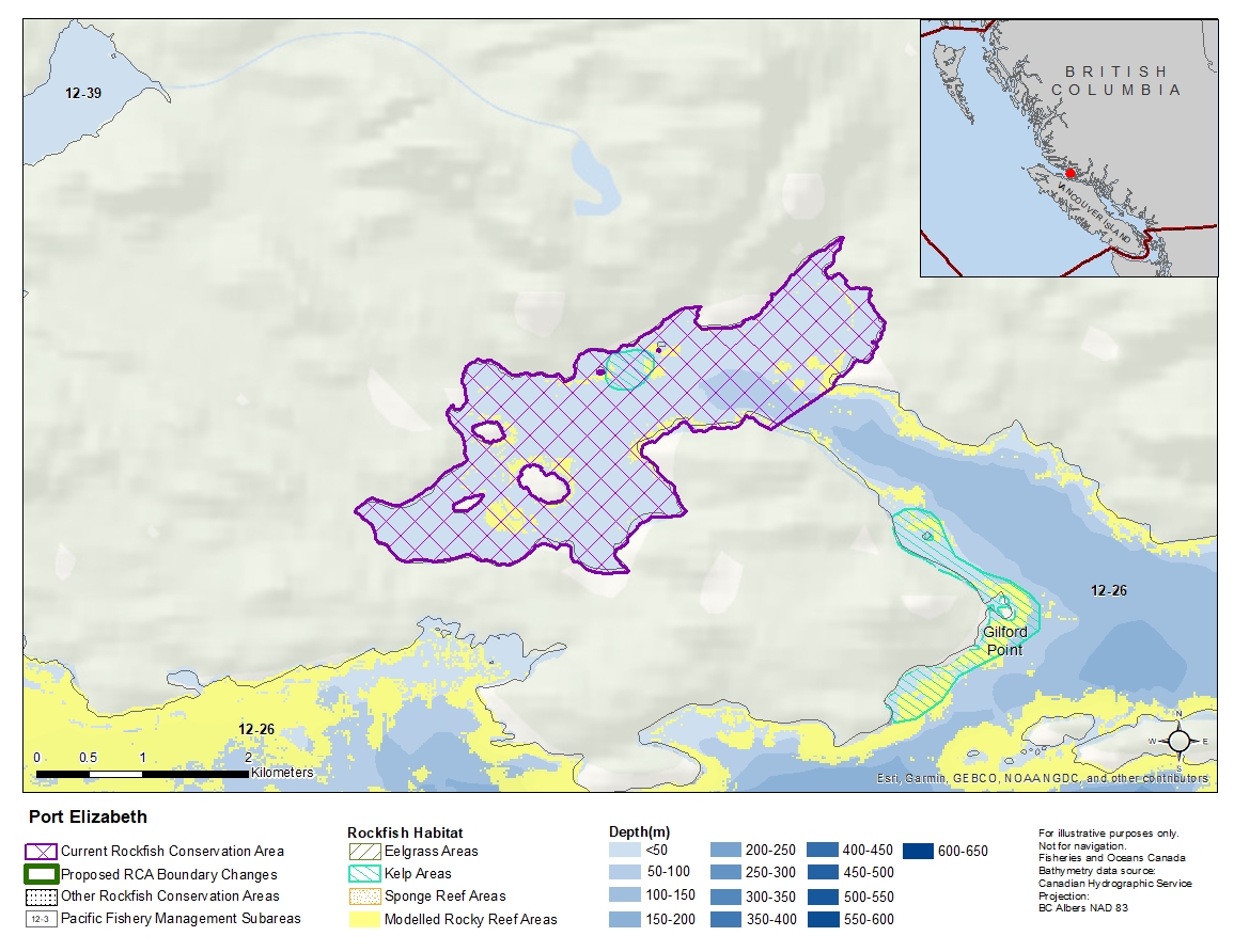
Description of current Rockfish Conservation Area boundary
Those waters of Subarea 12-26 that lie westerly of a line:
| from | 50°40.370'N | 126°27.658'W | east of Maple Cove |
|---|---|---|---|
| to | 50°40.144'N | 126°28.168'W | Gilford Island |
then to the beginning point.
- Date modified: