
Goschen and Porcher Peninsula Rockfish Conservation Areas
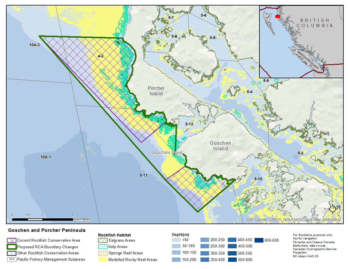
Description of current Rockfish Conservation Area boundary
Goschen
Those waters of Subarea 5-11 that lie inside a line that:
| begins at | 53°47.291'N | 130°33.162'W | Viscount Point |
|---|---|---|---|
| then to | 53°45.600'N | 130°36.100'W | in water |
| then to | 53°47.200'N | 130°39.200'W | in water |
| then to | 53°48.000'N | 130°37.500'W | Goschen Island |
then following the southerly shoreline of Goschen Island to the beginning point.
Porcher Peninsula
Those waters of Subareas 4-3, 5-11, 5-12, and 104-3 that lie inside a line that:
| begins at | 53°54.400'N | 130°51.500'W | in water |
|---|---|---|---|
| then to | 53°54.600'N | 130°43.900'W | Fan Point |
| then southerly following the shoreline of Porcher Peninsula to |
53°50.235'N | 130°39.577'W | Porcher Peninsula |
| then to | 53°49.100'N | 130°41.600'W | in water |
then to the beginning point.
Proposed boundary change
Extend boundaries to combine two RCAs into one new RCA.
Reason(s) for proposed boundary change
- Capture complete habitat structures.
- Capture habitat at deeper depths.
- Date modified: