
Greenway Sound Rockfish Conservation Area
No boundary change proposed at this time.
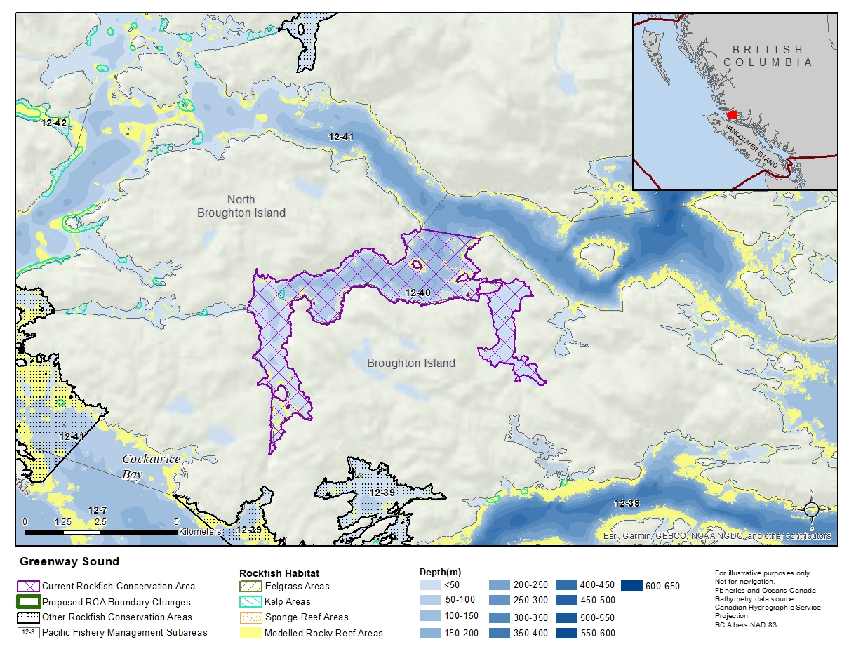
Description of current Rockfish Conservation Area boundary
Those waters of Subarea 12-40 that lie inside of a line that:
| begins at | 50°51.755'N | 126°44.036'W | Cardale Head |
|---|---|---|---|
| then to | 50°51.587'N | 126°42.370'W | Walker Point |
| then around Greenway Sound to | 50°50.247'N | 126°48.870'W | shoreline |
| then true north to | 50°50.325'N | 126°48.870'W | Broughton Point |
then following the southerly shoreline of North Broughton Island to the beginning point.
- Date modified: