
Kitasu Bay Rockfish Conservation Area
No boundary change proposed at this time.
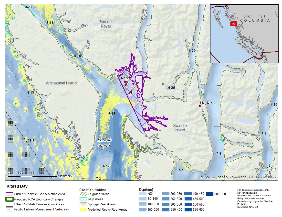
Description of current Rockfish Conservation Area boundary
Those waters of Subareas 6-16, 6-18 and 6-19 that lie northeasterly of a line that:
| begins at | 52°39.326'N | 128°51.524'W | entrance to Monks Cove |
|---|---|---|---|
| then to | 52°31.400'N | 128°44.589'W | near Parson's Anchorage |
except for the waters of Laredo Inlet that lie north of the parallel passing through 52°40.100' north latitude at Waser Point.
- Date modified: