
McMullin Group Rockfish Conservation Area
No boundary change proposed at this time.
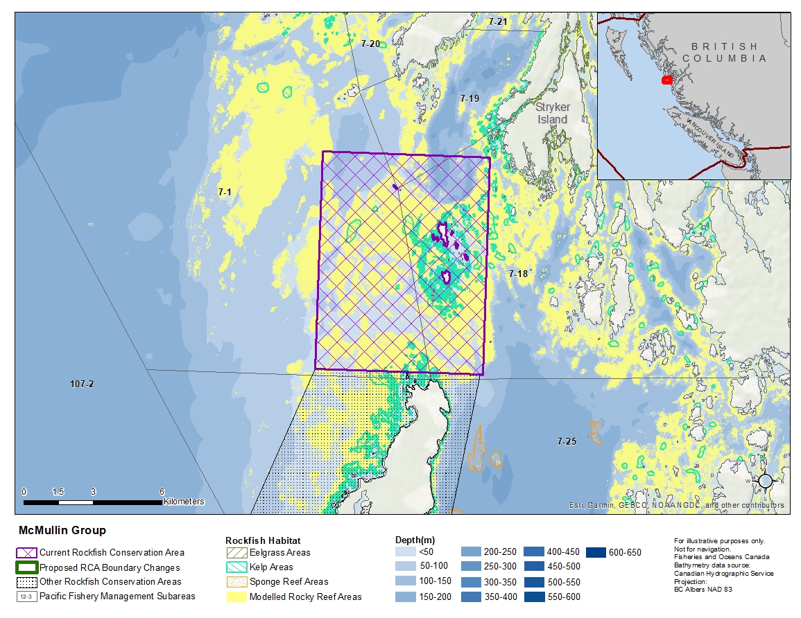
Description of current Rockfish Conservation Area boundary
Those waters of Subareas 7-1, 7-18 and 7-19 that lie inside a line that:
| begins at | 52°05.500'N | 128°29.700'W | in water |
|---|---|---|---|
| then true east to | 52°05.500'N | 128°23.300'W | in water |
| then true south to | 52°00.400'N | 128°23.300'W | in water |
| then true west to | 52°00.400'N | 128°29.700'W | in water |
then true north to the beginning point.
- Date modified: