
Numas Islands Rockfish Conservation Area
No boundary change proposed at this time.
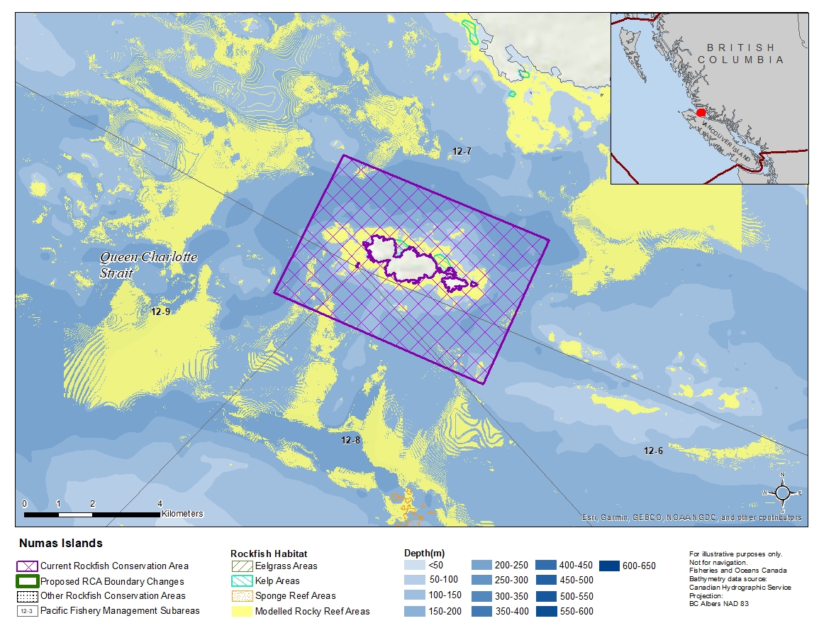
Description of current Rockfish Conservation Area boundary
Those waters of Subareas 12-6 to 12-9 that lie inside a line that:
| begins at | 50°47.900' N | 127°07.600' W | in water |
|---|---|---|---|
| then to | 50°46.600' N | 127°02.400' W | in water |
| then to | 50°44.300' N | 127°04.000' W | in water |
| then to | 50°45.700' N | 127°09.300' W | in water |
then to the beginning point.
- Date modified: