
Otter Passage Rockfish Conservation Area
No boundary change proposed at this time.
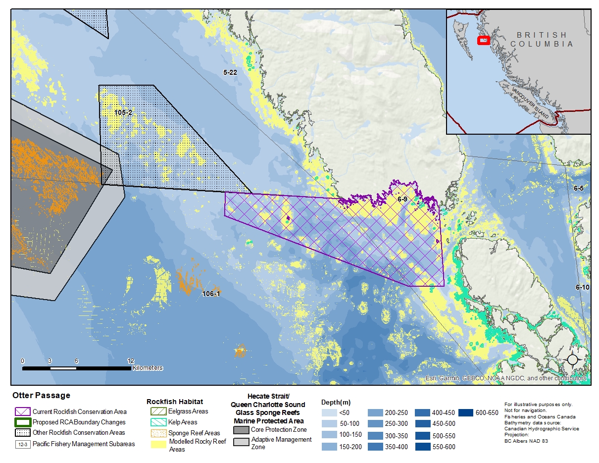
Description of current Rockfish Conservation Area boundary
Those waters of Subareas 6-9 and 106-1 that lie inside a line that:
| begins at | 53°09.835'N | 129°47.579'W | south tip of Banks Island |
|---|---|---|---|
| then to | 53°05.100'N | 129°46.600'W | in water |
| then to | 53°05.000'N | 129°50.100'W | in water |
| then to | 53°08.600'N | 130°08.900'W | in water |
| then to | 53°10.000'N | 130°08.900'W | in water |
| then to | 53°10.000'N | 129°57.127'W | Terror Point |
then following the southerly shoreline of Banks Island to the beginning point.
- Date modified: