
Scott Islands Rockfish Conservation Area
No boundary change proposed at this time.
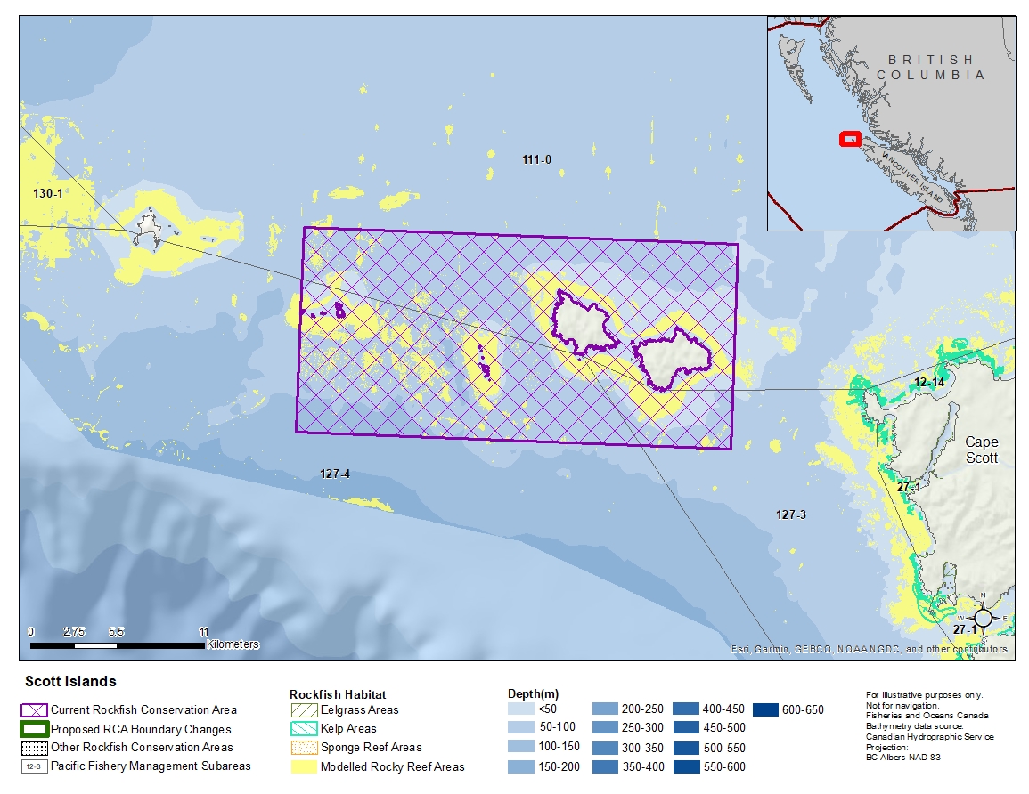
Description of current Rockfish Conservation Area boundary
Those waters of Area 111 and Subareas 127-3 and 127-4 that lie inside a line that:
| begins at | 50°52.000'N | 128°56.500'W | in water |
|---|---|---|---|
| then true east to | 50°52.000'N | 128°33.000'W | in water |
| then true south to | 50°45.000'N | 128°33.000'W | in water |
| then true west to | 50°45.000'N | 128°56.500'W | in water |
then true north to the beginning point.
- Date modified: