
Smith Sound Rockfish Conservation Area
No boundary change proposed at this time.
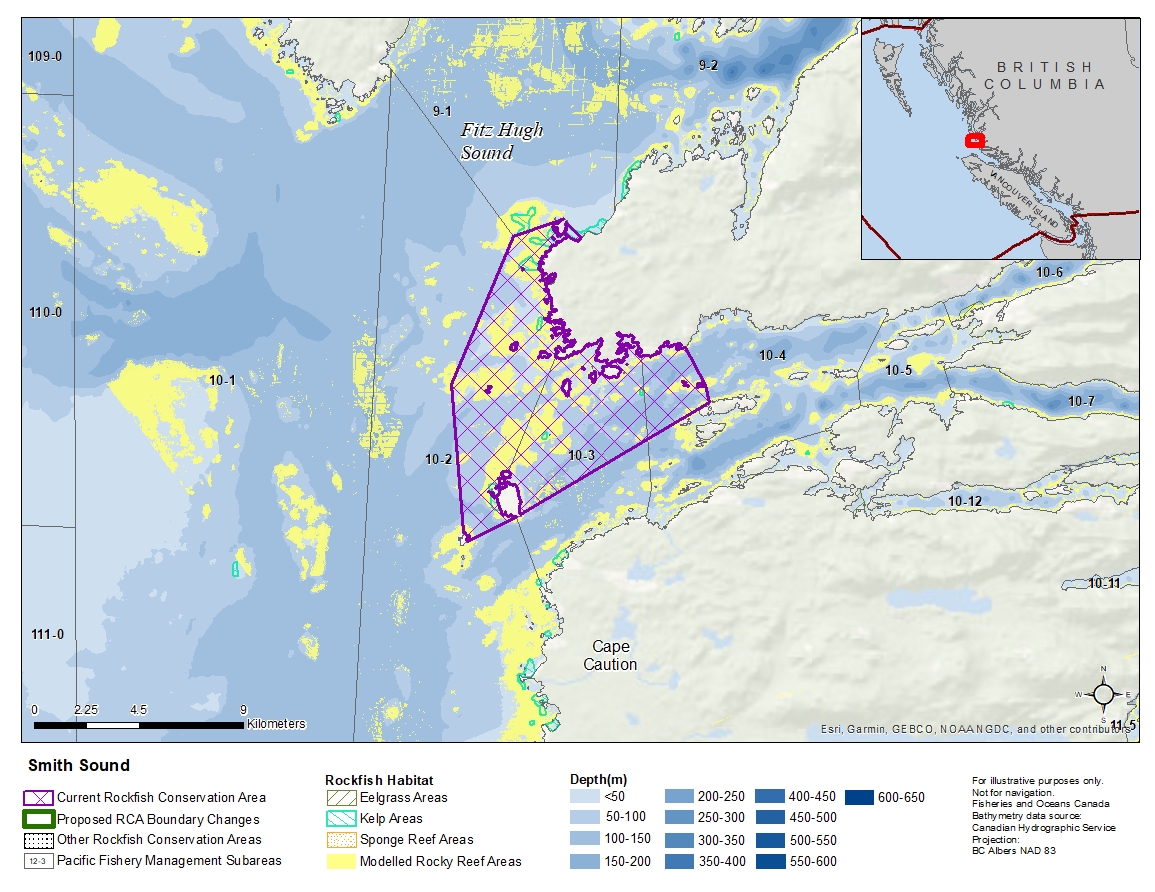
Description of current Rockfish Conservation Area boundary
Those portions of Subareas 10-2 to 10-4 that lie shoreward of a line that:
| begins at | 51°22.450'N | 127°46.656'W | Cranstown Point |
|---|---|---|---|
| then to | 51°22.015'N | 127°48.488'W | Dugout Rocks Light |
| then to | 51°18.560'N | 127°50.660'W | Thorndike Shoal |
| then to | 51°14.895'N | 127°50.025'W | Egg Island Light |
| then to | 51°15.477'N | 127°48.238'W | Table Island |
| then to | 51°18.283'N | 127°41.067'W | Cathcart Island |
| then to | 51°18.683'N | 127°41.250'W | Moss Islands |
| then to | 51°19.550'N | 127°42.004'W | Mainland |
then true north to the beginning point.
- Date modified: