
Thompson Sound Rockfish Conservation Area
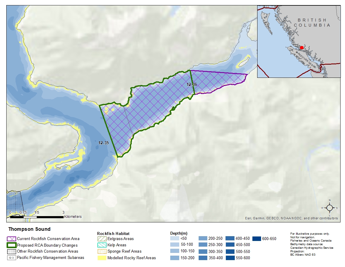
Description of current Rockfish Conservation Area boundary
Those waters of Subareas 12-35 and 12-36 that lie inside a line that:
| begins at | 50°47.243'N | 126°04.064'W | shoreline |
|---|---|---|---|
| then to | 50°47.119'N | 126°01.198'W | shoreline |
| then westerly following the shoreline of Thompson Sound to |
50°44.597'N | 126°07.436'W | Cleave Point |
| then to | 50°46.168'N | 126°08.333'W | east of London Point |
then easterly following the shoreline to the beginning point.
Proposed boundary change
Remove eastern portion of the boundary by up to 3 kilometres.
Reason(s) for proposed boundary change
Remove areas with small amount of rockfish habitat
- Date modified: