
Big Bar landslide response information bulletin
July 10 2020
On this page
- Ongoing onsite operations
- Update on fish monitoring
- Enhancement program update
- Salmon counts available online
- Current images of work being done at the landslide site
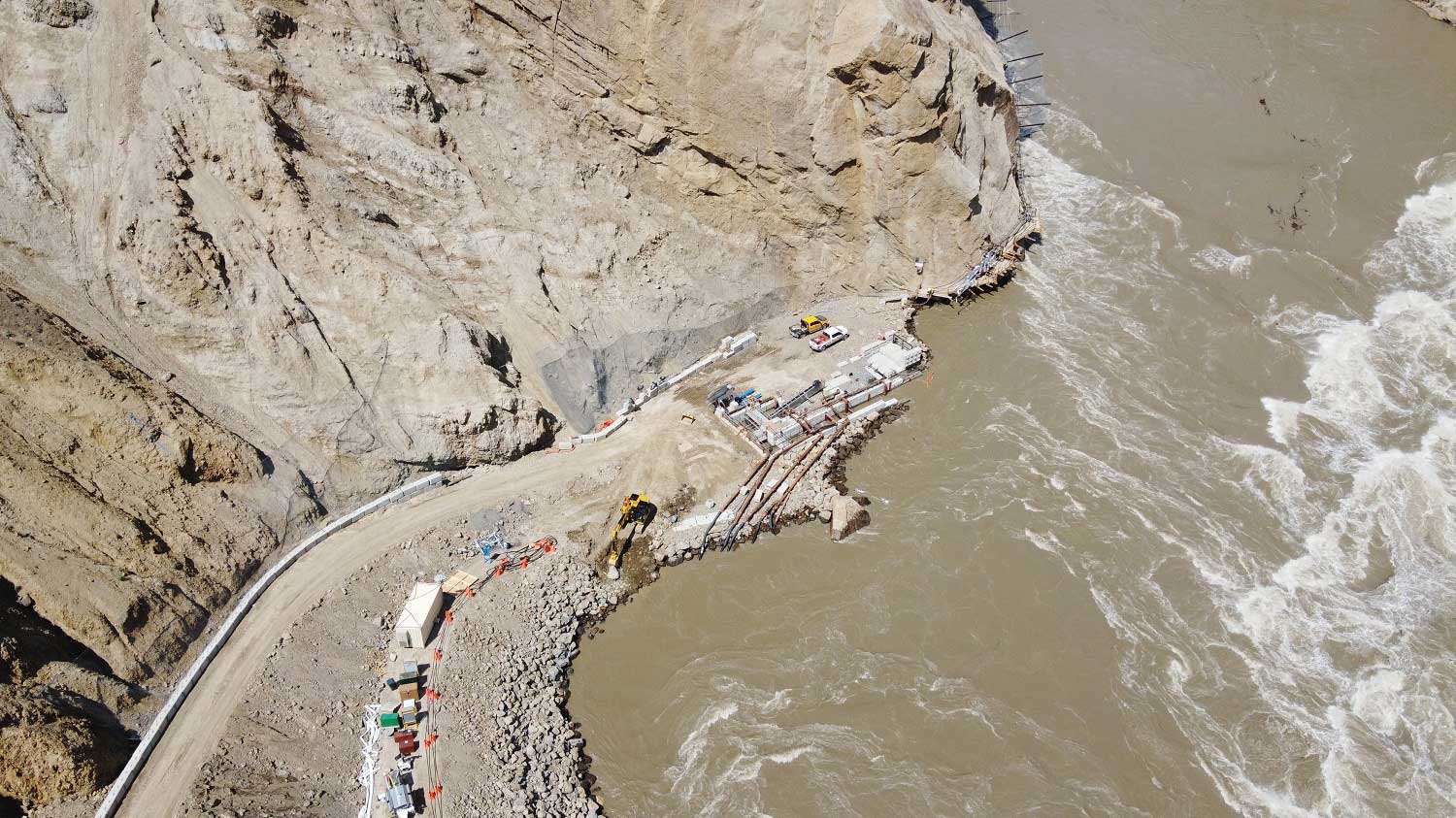
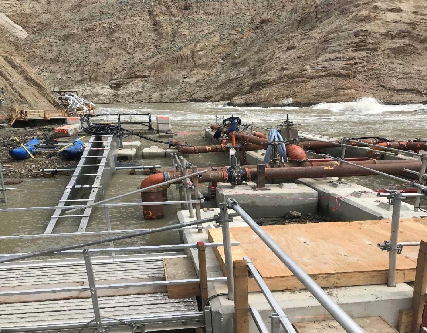
Ongoing onsite operations
A larger than usual snowpack, combined with extremely wet conditions this spring and summer in the Upper Fraser region, have resulted in historic high river conditions across much of British Columbia.
As levels peaked along the Fraser River, the persistent flooding conditions necessitated the relocation of sensitive equipment to higher ground and temporarily suspended the use of fish passage systems. Fish have also stopped migrating due to river volumes.
Although work on the Whooshh Passage Portal™ electrical and mechanical systems is temporarily halted, crews continued progress in other areas. To accommodate the high water conditions, they constructed a new pad at a higher elevation for the Whooshh™ control system container and raised the grade of some of the roadways.
Updates from the BC River Forecast Centre are being closely monitored as Upper Fraser flood forecasts continue to fluctuate. The team will resume alternative fish passage operations as soon as the river returns to more moderate flow levels.
Update on fish monitoring
Due to the flooding conditions in the last week, fish are holding downstream of the slide site. As a result, few were observed by the hydroacoustic stations and none were captured to apply new radio tags. No sockeye have been observed below the slide site.
Enhancement program update
Operations at the French Bar Creek Holding Facility are temporarily paused due to high water. The 2 chinook moved from French Bar to the hatchery in Vanderhoof are doing well.
Salmon counts available online
Salmon counts at the Big Bar landslide site can now be found on the our website. The data highlights fish movement at and above the slide site and will be published daily. The statistics include the number of fish radio tagged and those using alternative passage systems. The emergency enhancement data will also identify the number of chinook and sockeye that have been selected for broodstock on a weekly basis.
Note: During moderate flows in 2019, fish moved from the slide site to a monitoring station 40 km upstream within two to three days. In 2020, migration timing is expected to vary greatly during periods of high flows. Further details on timing will be available when water levels permit additional radio tagging. The daily numbers show counts at the Churn Creek sonar station that have been statistically expanded to show full counts.
Current images of work being done at the landslide site
Additional images of the work underway as part of our response efforts can be seen on the Government of BC’s Flickr channel.

- Date modified: